

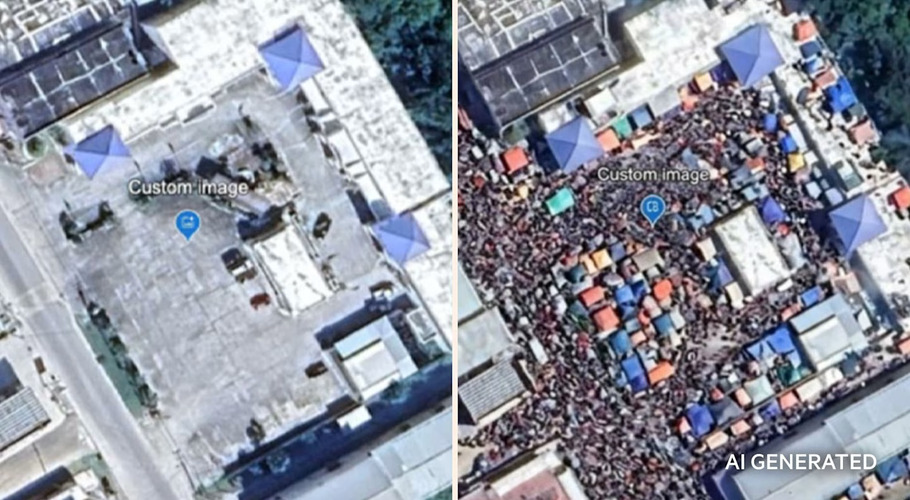
Google has rolled back a new AI image-editing feature in Google Earth after it was quickly used to generate convincing fake satellite scenes, raising concerns about misinformation and the integrity of imagery used by journalists and researchers.
The feature, announced Thursday, let users combine Google Earth’s satellite, aerial and 3D views with Google’s Nano Banana image-generation model. By Friday, Google said it was pausing the tool while it worked on stronger guardrails, after users shared altered images that appeared to show fabricated disaster and conflict scenes.
Open-source intelligence experts warned the tool could blur the line between real and synthetic imagery by embedding fakes in a trusted mapping platform. One researcher said the forgeries “inherit the credibility of the map” they appear on, while another argued watermarks would not be enough to stop people from being misled.
Google said generated images were watermarked and did not appear in the main Earth experience for others to see.