 Follow Us on Google News
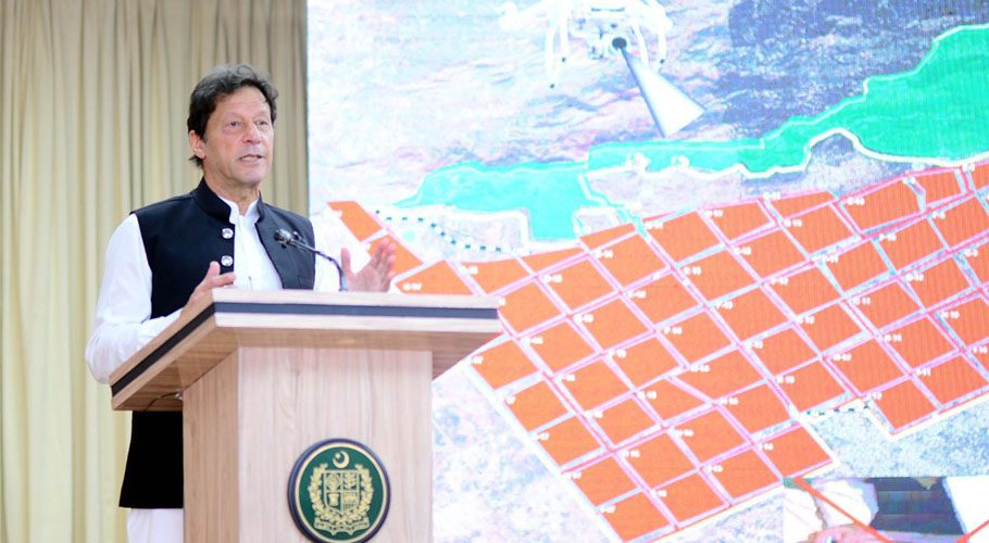
ISLAMABAD: Prime Minister Imran Khan on Wednesday launched the cadastral map of Islamabad to develop a modern and digitalised online system.
The cadastral mapping project has been conceived and inspired by vision of the Prime Minister to modernise the old “Patwar system” into a modernised digital online system.
The project will help curb land record tampering, ensure monitoring of construction through imagery and provide information about land ownership with a single click.
The phase-I comprises digitization of revenue record of three major cities including Karachi, Lahore and Islamabad. Survey of Pakistan has completed Islamabad Capital Territory digitalization by using Geographical Information System.
This will also help overseas Pakistani to verify online information before purchase of land in Islamabad. The new system would help identify the illicit hinging of state land, encroachment at drains and forests.
Addressing the launching ceremony, the prime minister said that digitalization of land records will bring transparency in the transfer of properties.
He said now anyone can get information of plots and other lands online. He said cadastral mapping of Islamabad, Lahore, and Karachi will be completed by November this year. He said the use of technology will also help defeat land grabbers.
The prime minister also appreciated Capital Development Authority, Survey General of Pakistan and other departments for completing the task successfully in a short span of time.