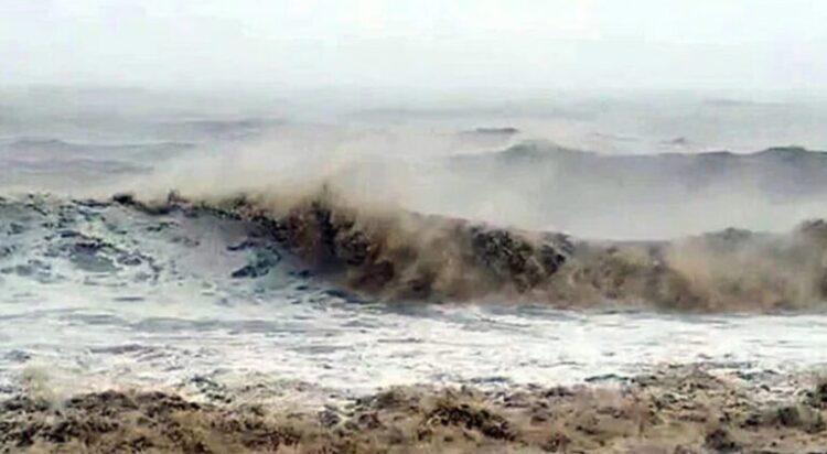
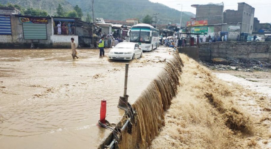
Northern California and the Pacific Northwest are preparing for a powerful storm that is predicted to batter the area with strong winds and rain, possibly resulting in flash floods and power outages.
In the Pacific Northwest and California, the strongest atmospheric river this season—long plumes of moisture that stretch far over the Pacific Ocean—bears down on the region starting Tuesday and continuing through Friday, according to the Weather Prediction Center, which issued excessive rainfall risks.
Richard Bann, a National Weather Service Weather Prediction Center meteorologist, explained that the storm system has rapidly intensified to the point where it is referred to as a “bomb cyclone.”.
As the massive moisture plume moves toward land, the regions that may experience especially heavy rainfall will probably extend from the south of Portland, Oregon, to the north of the San Francisco region, he said.
Up to 8 inches (20 centimeters) of rain are expected in areas of the San Francisco Bay Area, North Coast, and Sacramento Valley on Tuesday, when flood and high wind watches are put into effect in northern California.
For the northern Sierra Nevada above 3,500 feet (1,066 meters), a winter storm watch was issued, indicating the possibility of 15 inches (28 centimeters) of snow over two days. In mountainous regions, wind gusts could reach up to 75 mph (120 kph), according to forecasters.
It is anticipated that when the storm reaches its maximum intensity, there will be numerous flash floods, dangerous travel, power outages, and tree damage.


