Heavy snow, powerful winds, and torrential rain are set to batter large parts of the UK this weekend, as Storm Bert—named by Ireland’s Met Éireann—sweeps across the country, bringing significant disruption and risks to travelers.
After a week of Arctic weather, the second named storm of the season, Storm Bert, is set to make landfall this Saturday, November 23. The storm will affect the UK with an array of severe weather hazards, including heavy snow, strong winds, and heavy rain, which could cause widespread travel chaos and power outages.
What to Expect from Storm Bert:
The Met Office has issued multiple weather warnings, including amber and yellow alerts for snow, ice, wind, and rain. Chief meteorologist Matthew Lehnert warns that Scotland will be particularly affected by snow showers, some of which could reach lower ground, leading to potential travel disruptions across the region.
“Overnight temperatures will drop below zero quite widely, which has led to ice warnings across many areas, with more expected throughout the week,” Lehnert added.
Storm Bert, a deep low-pressure system, is expected to intensify rapidly as it moves across the Atlantic. This “weather bomb” phenomenon—when a storm’s central pressure drops by more than 24mb in 24 hours—will bring extremely strong winds, with gusts of 40-60 mph (65-96 km/h) across Scotland and northern England. Winds in areas near the Irish Sea could reach up to 70 mph (113 km/h), causing potential damage to buildings and disruptions to transport services.
Travel Disruptions and Dangerous Conditions
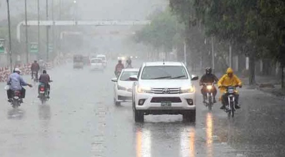
Commuters should brace for a weekend of travel chaos. National Rail has already warned of four days of potential disruptions, with heavy snow expected to continue falling through Saturday and Sunday. High winds are likely to impact road traffic, causing delays and possibly road closures, especially in areas prone to flooding due to heavy rainfall.
The Environment Agency has also issued warnings for localized flooding, with some areas of southwest England and Wales expected to see 50-75mm (2-3 inches) of rain, with up to 125mm (5 inches) falling in parts of Dartmoor and South Wales on Saturday alone. This could equal the region’s average monthly rainfall in just one day.
Snow and Freezing Rain
For many, it will be the snow and freezing rain causing the most disruption. While the rain and wind will impact most of the country, parts of Scotland and northern England, especially over higher ground, will see significant snowfall. The Met Office has issued an amber warning for snow and ice in central Scotland, where 30-40cm (12-16 inches) of snow is possible on higher ground. Lower levels could see between 5-10cm (2-4 inches) of snow.
Snow is expected to fall heavily in the morning, and with freezing rain possible in some areas, travel on higher routes could become treacherous. Freezing rain, which occurs when rain hits frozen surfaces and freezes on contact, could lead to dangerously icy conditions.
As temperatures rise, the snow and freezing rain should turn to regular rain, which could worsen flooding in some areas. However, the warmer air expected to move in from the south-west should eventually relieve the worst of the wintry conditions, although travel disruptions are expected to continue for days.
While Storm Bert will bring a shift to milder temperatures across much of the UK, the weather is expected to remain challenging. On Saturday, temperatures in southern and central England will rise to 12-15°C, while northern parts will still feel the chill with temperatures between 2-7°C. By Sunday, milder conditions should spread across the country.
Despite this warming trend, travel hazards will continue into Sunday and Monday as Storm Bert slowly moves eastward, with strong winds and rain continuing to affect parts of the UK.
Why is it called Storm Bert?
Storm Bert is the second named storm of the 2024/25 season, following Storm Ashley. The naming of storms is part of an initiative by the Met Office, in collaboration with Met Éireann and KNMI, to help communicate the risks posed by severe weather to the public. The names used are submitted by the public and reflect the storm’s potential impact.
Met Office deputy chief meteorologist Dan Holley explained, “Storm Bert marks a shift to much milder air, but wintry hazards will gradually diminish through the weekend. However, heavy snowfall is expected across parts of northern England and Scotland for a time on Saturday, especially over higher ground.”
With travel disruptions likely, it’s essential to prepare ahead of Storm Bert’s arrival. Energy companies have urged households to take precautions to protect themselves from potential power cuts. As rainfall and strong winds could damage infrastructure, the public should remain vigilant and heed any official advice.
To ensure your safety, avoid unnecessary travel, especially in areas with heavy snow and high winds. Make sure your car is winter-ready, keep emergency supplies on hand, and stay updated with the latest weather warnings from the Met Office.


