


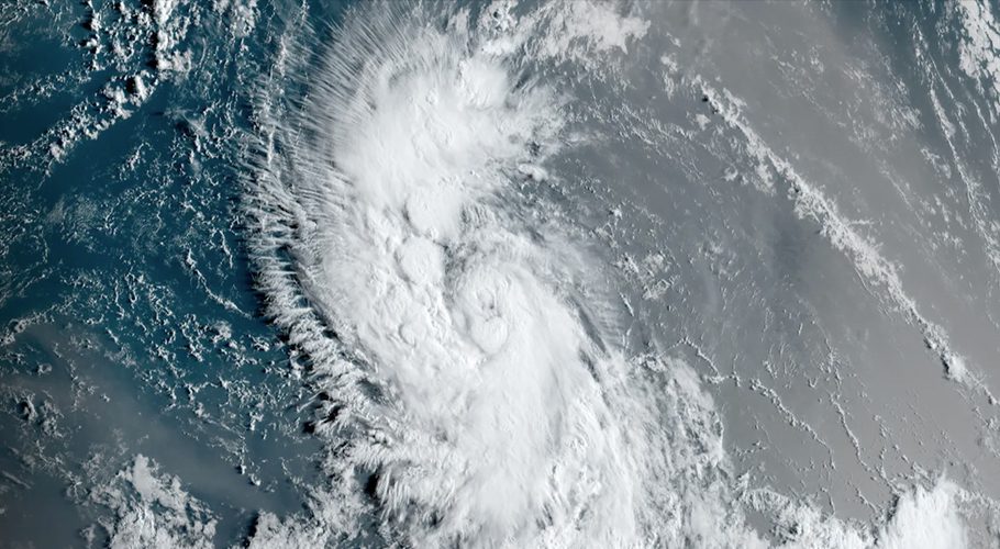
Tropical Storm Lee was forming east of the Lesser Antilles and was expected to rapidly intensify into an extremely dangerous hurricane by the weekend, the U.S. National Hurricane Center said in an advisory late on Tuesday.
The storm was located about 1,315 miles (2,115 km) east of the Lesser Antilles in the Caribbean Sea, packing maximum sustained winds of 45 mph (75 kph), the Miami-based forecaster said.
“It is becoming a question of when and not if rapid intensification occurs with Lee,” the advisory noted. Winds are forecast to reach 145 mph which is a powerful Category 4 “major hurricane.”
This already is a 5 mph increase from the NHC’s initial advisory earlier in the day. The reason for the higher wind speed is the above-average water temperatures in the area of the Atlantic where the storm is set to be. “The system should be moving over record-warm waters … east of the Lesser Antilles.” Forecasters say those kinds of water temperatures are what they typically see in the Gulf of Mexico — not in the much cooler ocean.
This forecast – so far out in the Atlantic — with a prediction of strengthening this quickly is unusual. Still, it’s too early to say with any certainty exactly where this storm will go.
Most of the long-range models have Lee eventually curving north – missing the Caribbean and remaining offshore of the United States. While models are generally accurate, they’re not perfect. Hurricane Irma, in 2017, was supposed to follow a similar path – but instead walloped the Gulf coast of Florida.