The upcoming United States winter looks likely to be a bit low on snow and extreme cold outbreaks, with federal forecasters predicting the North to get warmer than normal and the South wetter and stormier.
A strong El Nino heavily moderates and changes the storm tracks of what America is likely to face from December to February, with an added warming boost from climate change and record hot oceans, officials at the National Oceanic and Atmospheric Administration said Thursday in releasing their winter outlook.
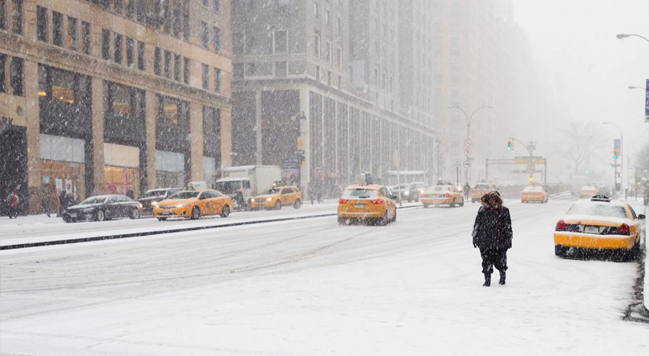
The forecast warmth will likely turn some storms that would have dumped snow into rain in the nation’s northern tier, but there’s also “some hope for snow lovers,” with one or two possible whopping Nor’easters for the East Coast, said Jon Gottschalk, operations branch chief of NOAA’s Climate Prediction Center. Parts of the East Coast, particularly the Mid-Atlantic, may get more snow than normal because of that, he said.

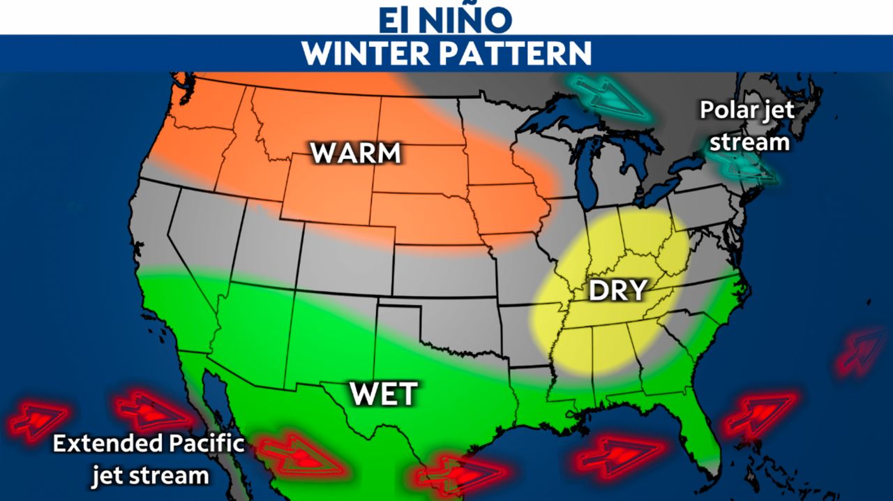
Most of the country is predicted to be warmer than normal with that warmth stretching north from Tennessee, Missouri, Nebraska and Nevada, along with nearly all of California. The rest of the nation is forecast to be near normal or have equal chances for warm, cold or normal. NOAA doesn’t predict any part of the U.S. to be cooler than normal this winter.
A similarly large southern swath of the country is predicted to be wetter. The forecast of added moisture stretches from Massachusetts down the East Coast along most of the South below Tennessee, and extending west through Texas, Kansas, Colorado, Utah, Nevada and most of California, but excluding good chunks of New Mexico and Arizona.
The Great Lakes region and the furthest northern parts of the nation stretching from Lake Erie to eastern Washington are forecast to be drier than normal.
All this is because of El Nino, which is a natural periodic warming of parts of the Pacific that changes weather patterns worldwide and generally heats up global temperatures, Gottschalk and other NOAA scientists said. El Nino has its strongest effects, especially in the United States, during the winter. That’s when it sends the jet stream, which moves storm fronts, on an unusual path that is dominated by warmer and wetter Pacific air plunging south.
That means more rain in the South and extra storminess in the late winter, Gottschalk said. El Nino often means “unusual severe weather across the state of Florida because of a strong subtropical jet stream,” he said.
He pointed to Washington’s paralyzing 2010 Snowmageddon storm that dumped more than 2 feet on the capital region during an El Nino.
Normally the South gets not just wetter but cooler during an El Nino, but Gottschalk said the warmer ocean temperatures and record hot summer temperatures led forecasters to ditch a cooler outlook.
NOAA scientists said climate change is an added factor to their forecast, especially with winter being a season where the world sees some of the most warming above old normals from the burning of coal, oil and natural gas. Winter in the Lower 48 has warmed on average 1.6 degrees Fahrenheit (0.9 degrees Celsius) in the past 40 years, according to NOAA data.
Meteorologists outside NOAA see the winter playing out somewhat similarly.


